IT & System Engineering
NovaATS
Novatis Air Traffic System, JAMCC, Sabah
Overview
NovaATS is an in-house, web-based aviation information management application developed to provide a centralized platform for accessing, monitoring, searching, and visualizing aeronautical messages and flight-related information. The system integrates Flight Plan (FPL), Notice to Airmen (NOTAM), and Meteorological Aerodrome Report (METAR) information within a unified interface. It also incorporates interactive geographical mapping to visualize flight routes, departure and destination locations, and navigation waypoints. NovaATS is designed to improve aviation information accessibility, streamline message retrieval, and support operational situational awareness.
Key Features
Centralized Aviation Information Management
Provides a unified web-based platform for accessing, monitoring, and reviewing Flight Plan (FPL), Notice to Airmen (NOTAM), and Meteorological Aerodrome Report (METAR) information.

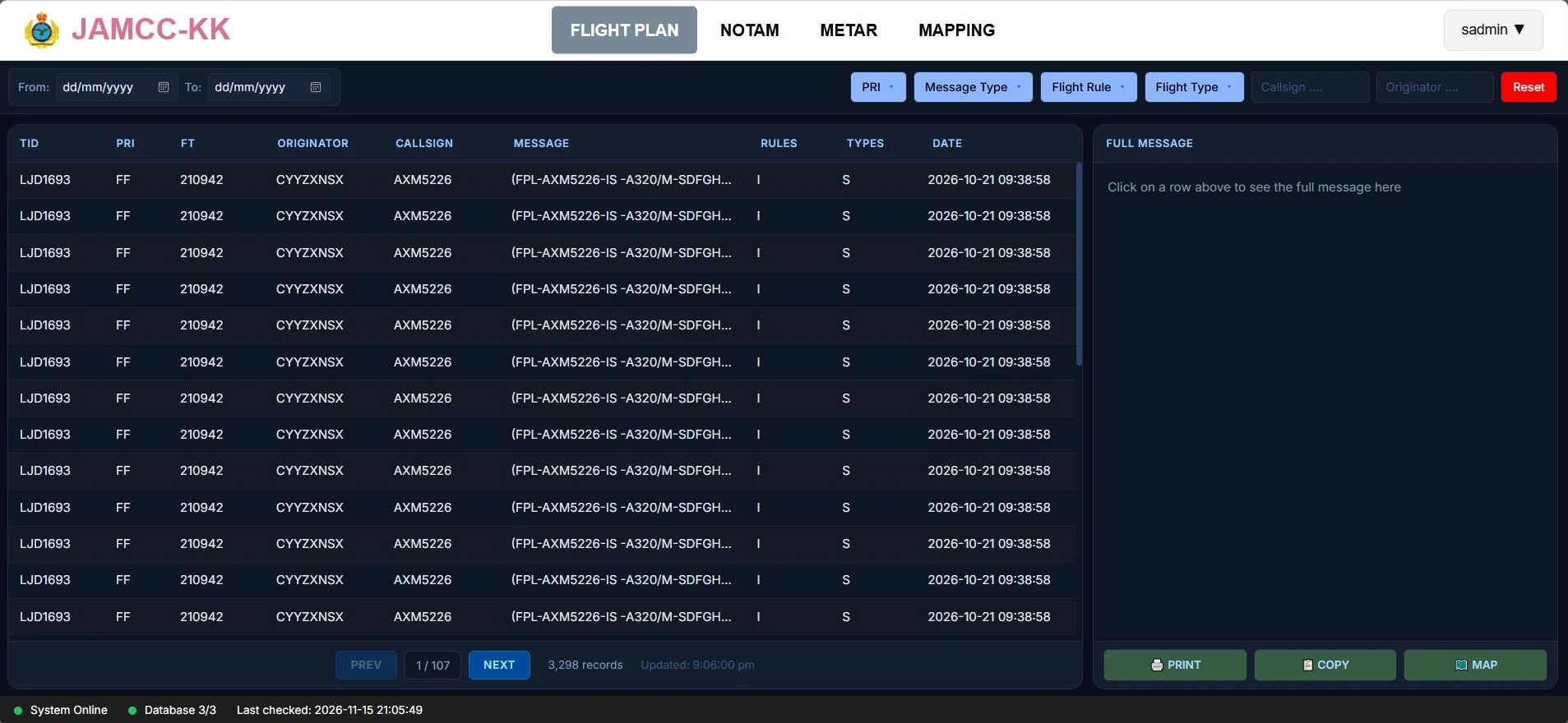
Flight Plan Monitoring, Search and Filtering
Displays flight plan messages containing aircraft callsign, message type, priority, flight rules, aircraft type, departure and destination aerodromes, and routing information.
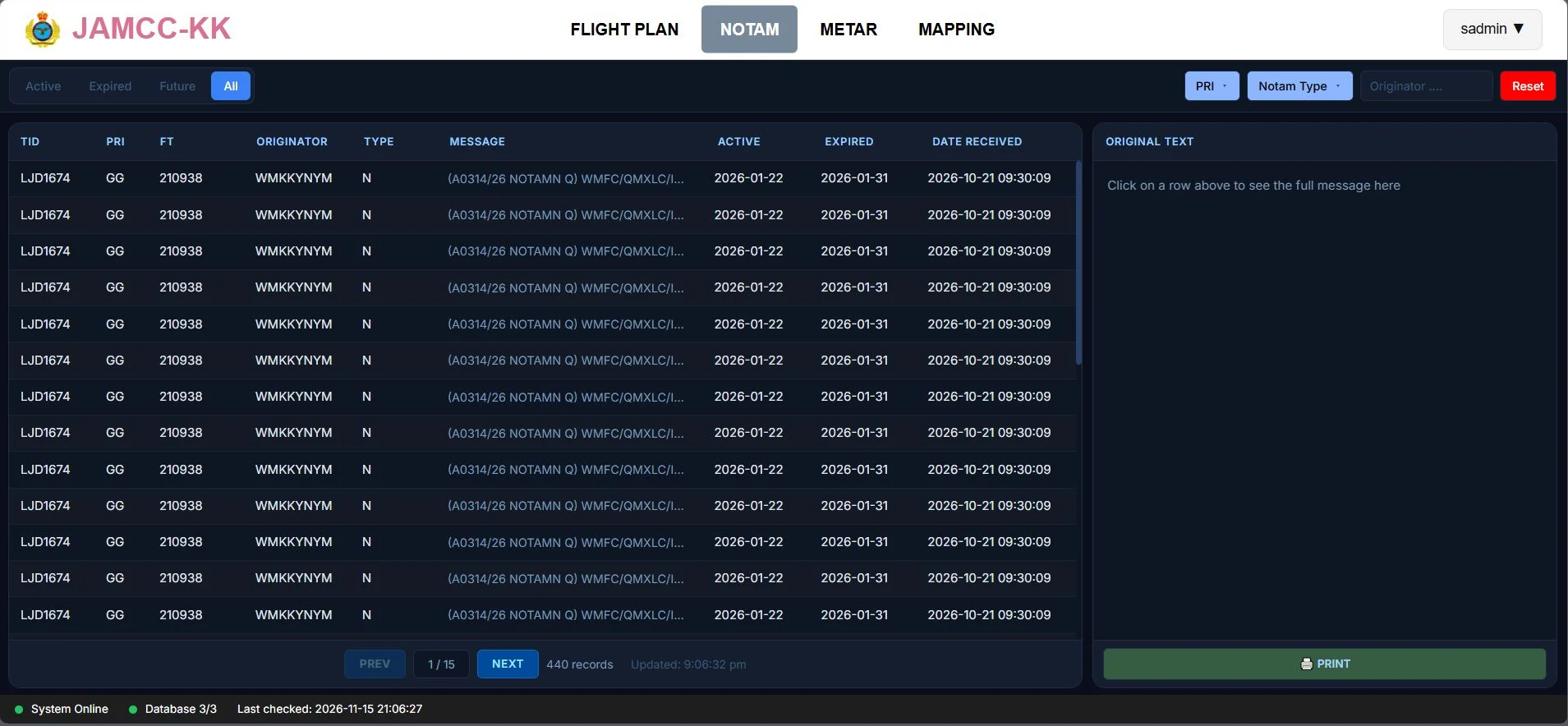
NOTAM Management and Status Classification
Provides access to aeronautical notices with filtering by originator, priority, and NOTAM type. Notices are categorized into Active, Expired, Future, and All views according to their effective dates, allowing users to identify and review relevant operational information efficiently.
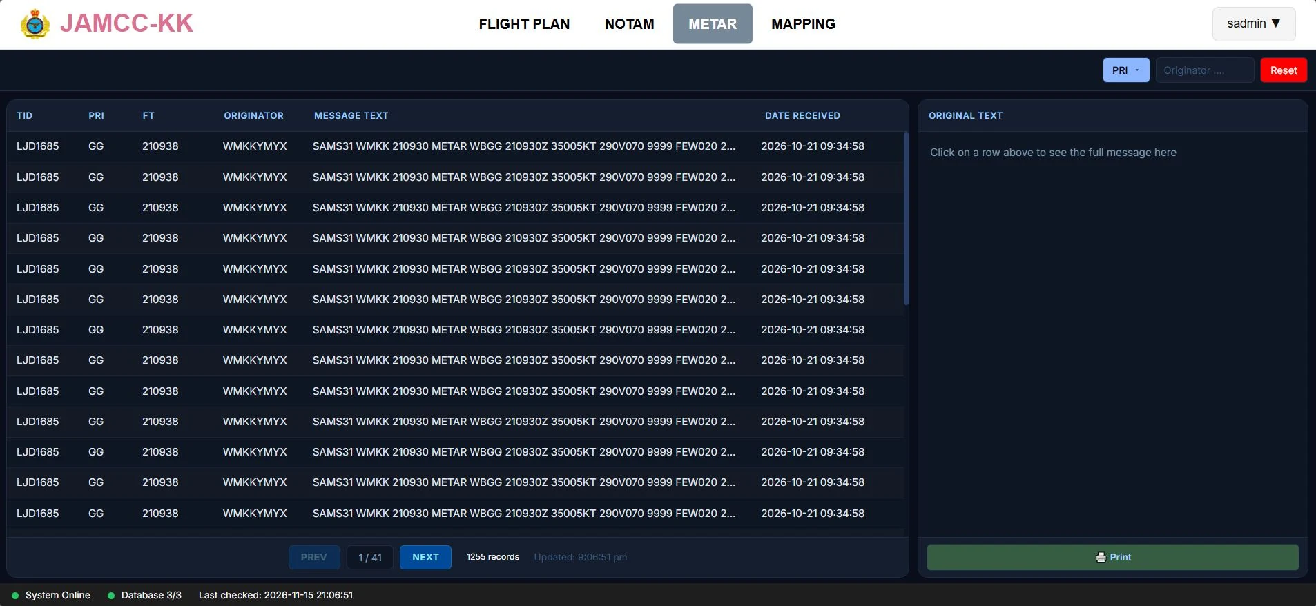
METAR Information Monitoring
Provides a dedicated interface for accessing and reviewing aviation meteorological reports, allowing users to obtain aerodrome weather information alongside flight plans and NOTAMs within the same system.
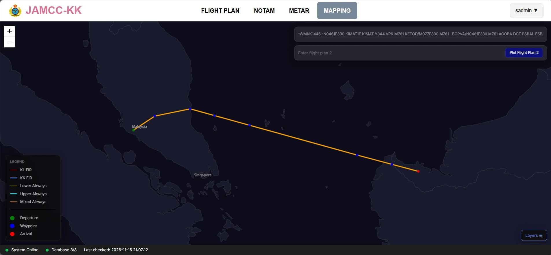
Interactive Flight Route and Waypoint Visualization
Displays flight routes, departure and destination locations, and navigation waypoints on an interactive geographical map, and the system integrates aviation geographical reference data to support route plotting.